
In this sobering image posted by the Far North Police in Queensland, Australia (story here) the driver was lucky to escape, but that is unfortunately not always the case. The majority of flood fatalities, including those in Australia in 2022, continue to be vehicle related.

Terminology
In case Google sent you here by mistake, we wanted to clarify the terminology we are using for floodways. Although floodways have a specific definition in the U.S. related to FEMA floodplain mapping, we are applying the Australian definition as a river or creek crossing designed to be overtopped at a specified annual exceedance probability. Other names for floodways include causeway, low-level crossing, Irish bridge, ford crossing, Arizona crossing, and dip crossing. Please send us any additional terms used in your part of the world and we’ll add them to our list.

Design Guides
Here are some of the design guides referenced in the presentation:
- Main Roads Western Australia Floodway Design Guide
- Austroads Guide to Road Design
- Queensland TMR Road Planning and Design Manual
Please contact us with any additional floodway design references in your area of the world and we’ll add them to this list.

Ad campaigns:
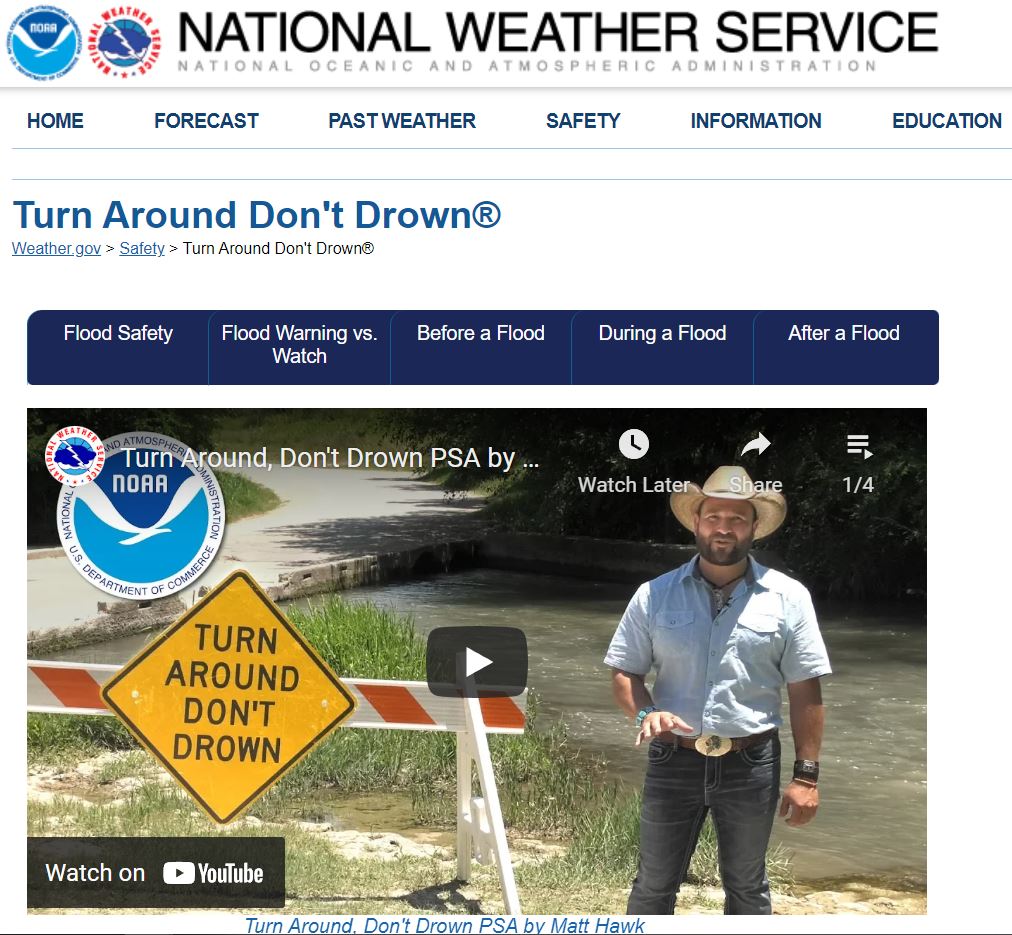
- Turn around don’t drown (National Weather Service public service messaging)
- Water always wins Virtual Reality ad campaign (PixelFarm and Clark County Regional Flood District)
- Back it up ad campaign (Queensland Australia Police)
- 15 to float ad campaign (from Victorian government)
- Scary pictures of road washouts (by Bendigo SES)

Articles
- Floodwaters can turn cars into death traps (UNWS Water Research Laboratory article featuring Ben Modra’s research)

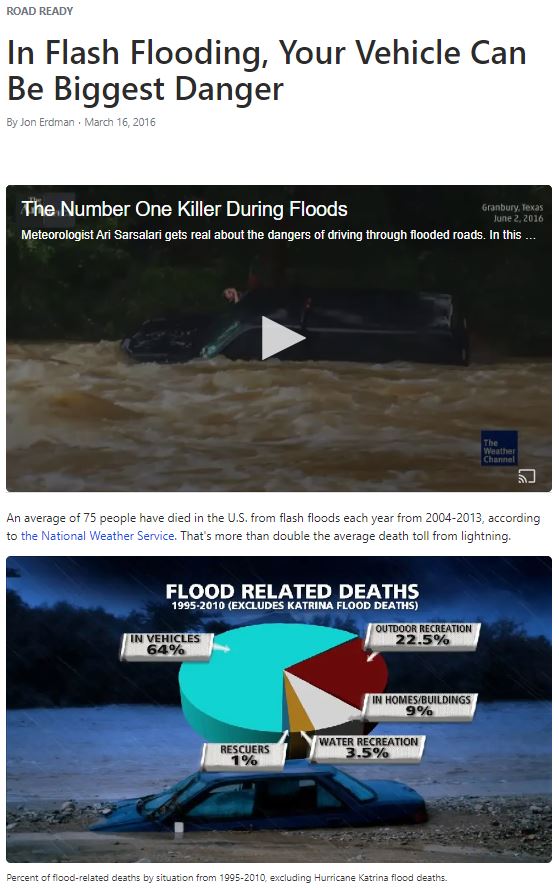
- Flash Flooding Vehicle Danger (weather.com article with videos)
Modelling recommendations:
The current guidelines for sizing scour-resistant rock on floodways are based on 1D analyses. Most flood modelling and hydraulic structures modelling worldwide is currently being conducted with 2D and 3D modelling; updated guidance is needed for applying 2D and 3D results to rock sizing methodologies. The FMA 2022 paper Estimating scour risk from 1D, 2D, and 3D model results addresses these issues and recommendations.

Here are the accompanying slides:

The presentation video will be available through the FMA website shortly.
Click here for free webinars covering the ancestry of Australian rock sizing equations (including source data from the U.S., France, Germany, and Russia) along with additional resources on riprap scour protection.
Videos:
Cahill’s Crossing, East Alligator River (note the rescue by a croc-watching tourist boat):
Presenter details are available on the Australian Water School website here:

Contact us with questions or suggestions